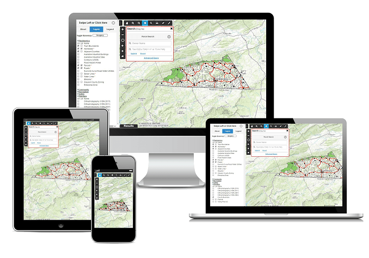
Web GIS Development
Prieston Build & Innovate designs and develops Web GIS platforms that turn spatial data into strategic knowledge. Our systems combine mapping, analysis, and visualization to support decision-making across infrastructure, environmental, and urban domains. Built on open standards and cloud architecture, they offer accuracy, performance, and accessibility. Through Web GIS, we redefine how spatial information is understood and applied in modern engineering.
Spatial Data Management
Centralized management of vector, raster, and 3D data using modern databases and open geospatial standards.
Web Mapping Applications
Development of interactive mapping platforms that present complex datasets through responsive, intuitive interfaces.
Spatial Analysis and Monitoring
Integration of analytical tools and real-time processing for prediction, monitoring, and spatial intelligence.
Standards and Interoperability
Implementation of OGC standards such as WMS, WFS, and WMTS to ensure reliable data exchange and long-term integration.